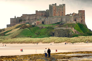
During the early medieval period Bamburgh was at the very centre of royal Northumbria which stretched from the Humber to the Forth. It was the most important county in England very different from the quiet little village that it is today. The original name of Bamburgh was Din Guaroy but it became Bebbanburg after the Saxon Queen Bebba and finally Bamburgh.
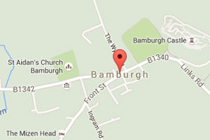
The Parish boundary extends from the Waren Burn in Budle Bay to the coast along the Budle Water, then down the coast to a point just short of Monks House, taking briefly to the sea to include Islestone, the most northerly (and uninhabited) member of the Farne Islands.
This is a coastline of open, sweeping beaches, rocky shores and extensive sand dunes. Our beautiful beaches awarded us with a distinction yet again! for their quality and cleanliness.
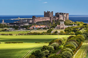
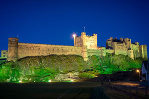
The inland boundary wanders through lush farmland dotted with picturesque, stone-walled farm buildings. In every part of the Parish there are breath taking views of the Farne Islands, the Cheviot Hills and, of course, Bamburgh Castle itself.
Explore
Within "Visiting Bamburgh" we have the following sections: